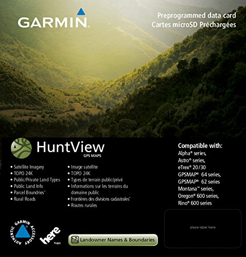
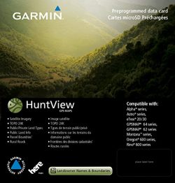
Garmin 010-12258-01 Huntview Map Card – Wyoming
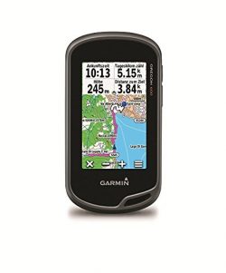
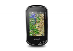
Featuring exclusive birdseye satellite imagery and 1: 24K scale topo mapping, these preloaded microSD cards offer a seamless hunting Map solution for Garmin handheld GPS devices. Map data is collected from Multiple sources, Providing full state-by-state coverage with routable road and trail data, landowner names and boundaries for public/private Land types and boundaries (blm, National wildlife refuges, National Parks, WPA, WMA), food/fuel locations and more. Included basecamp software lets you interface your computer with your handheld device to plan your hunt, transfer waypoints, and even keep a track log so you can return to the best hunting spots or share the adventure online.
Product Features
- Easy-to-use mapping solution for hunters and outdoorsmen -plug-in Micro SD card eliminates time-consuming downloads
- Identifies landowner names and boundaries for public/private land types and boundaries, using data from multiple sources for superior coverage and detail
- Digital topography equivalent to 1: 24, 000 scale U.S. Geological Survey maps
- Shows thousands of routable roads and trails with turn-by-turn navigation
- Includes searchable points of interest: parks, summits, geographic place names, camping areas, businesses, and more












Waste of $80 for mich no boundary lines public hunting not marked either
I can’t say I liked it because it came to me defective Does not show any property lines and none of the state land in my area is marked either. Unlike what is advertised. I Live in southwest Michigan in highly populated area as well not like Iâm in the upper peninsula. Called garmin and they confirmed itâs not a software problem itâs just not covered! The exact thing this is marketed to do all over box and everywhere only applies to certain states! Spend the extra money buy on x maps. I can even see the half acre parcels in town and who owns them…
I can’t say I liked it because it came to me defective. It would only show a bold border around properties, without any color designations of private property, no took, NOTHING that would help with a successful hunt. Very frustrating to see a huge buck and have to pass it up because I couldnt determine if it was legal! This happened a few times. I tried it in my garmin rino 650 and the screen wouldn’t even come on, like it was dead! On dumping it out of the 650, I believe I found the problem;…